


Apple's indoor mapping format gets adopted as a standard.
What you need to know
- Apple's Indoor Mapping Data Format (IMDF) has been adopted by the Open Geospatial Consortium (OGC) as a Community Standard.
- Apple positions its format as a way to offer indoor mapping while preserving privacy and security.
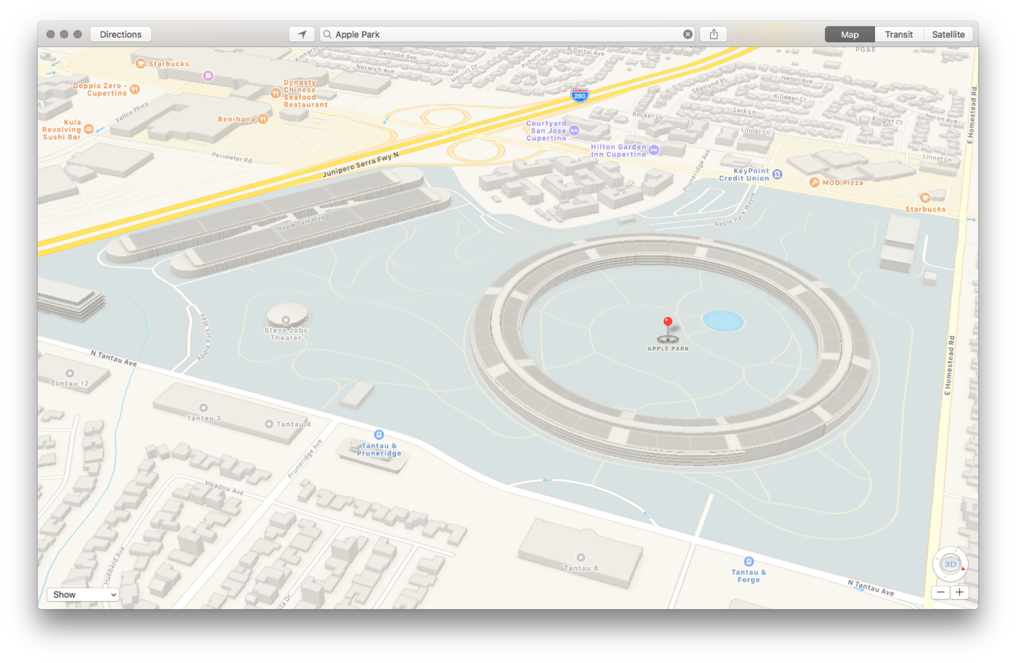
Apple's Indoor Mapping Data Format (IMDF), which the company uses to offer indoor maps through its Apple Maps service, has been adopted by the Open Geospatial Consortium (OGC) as a Community Standard.
The company announced the news in an update on the Apple Developer website.
It offers a mobile-friendly, compact, human-readable, and highly extensible data model for any indoor space, providing a basis for orientation, navigation, and discovery. And now, the Open Geospatial Consortium (OGC) membership has added IMDF 1.0.0 to the OGC Standards Baseline as a Community Standard.
The format, which was developed by Apple, allows property owners to offer indoor maps while retaining security and privacy controls. Unlike other indoor services, which use physical technology like beacons, IMDF operates with just an iPhone or iPad.
Indoor Mapping Data Format (IMDF) lets you present your users with fully-customized indoor maps of venues around the world, such as stadiums, airports, and campuses — all under the security and privacy controls of the property owner. Developed by Apple, IMDF makes it easy for organizations to enable Apple's indoor positioning service on iPhone and iPad inside facilities without installing additional infrastructure, like beacons.
Anyone interested in building out indoor maps can learn more about the Indoor Mapping Data Format (IMDF) as well as Displaying an Indoor Map.
Apple has been continuously improving its mapping service, expanding features like turn-by-turn directions and Look Around to more areas across the globe. The iOS 14.5 beta even introduces the ability for users to report accidents and hazards, a feature that competing maps service Waze has had for years.


0 comments:
Post a Comment